[Webinar] Collaboration and Monetization of Data Products: The Role of the Data Marketplace

Watch the replay

Geographic & GIS data

Data portals to centralize, share and encourage greater use of geographic and GIS data internally and across your ecosystems.

Request a demo

Increase the value and widen the usage of GIS data

Your needs

Your organization is generating growing volumes of data from your geographical information systems (GIS), giving you a deeper understanding of your physical assets and the wider world. Data portals maximize the value of your geographical data, enabling data assets to be shared more widely, harnessed across your organization and ecosystems, and combined with other data to increase efficiency, automate processes and underpin greater innovation and transparency.

Increase usage of your Geographic Information System data with Opendatasoft’s data portal solution

Share your geographic data with the world

Contribute to a deeper understanding of the environment around us by making your GIS data easily available to users and organizations around the world through your data portal. Add to the global store of knowledge and meet the needs of your audiences from citizens to developers by sharing data assets in multiple formats, increasing understanding of our wider environment.

Create value for your ecosystem by encouraging reuse of your geographical data

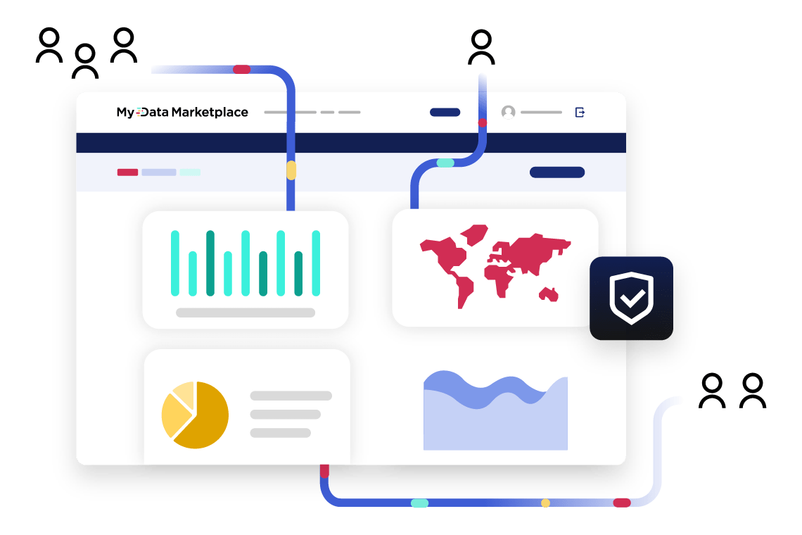
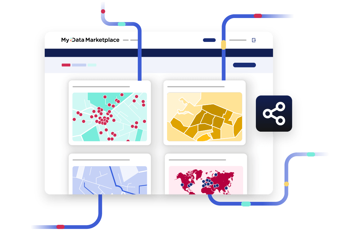
Maximize usage of your GIS data internally and externally by sharing it through your data portal, encouraging the creation of innovative use cases and deepening collaboration with existing and new partners. Accelerate reuse by sharing your data assets in multiple formats, from maps and visualizations to APIs and widgets, making it easily usable by non-specialists as well as experts. 

Ensure your geographic data is consistent and high-quality

Improve the quality and usability of your GIS data and ensure it is consistent, reliable and understandable through built-in processors in your data portal. Enrich data assets and enhance their value and potential usage by adding reference data and information from external sources, all while managing and standardizing metadata to ensure it meets your corporate governance standards.

City of Salinas drives collaboration and efficiency by sharing GIS data via its portal

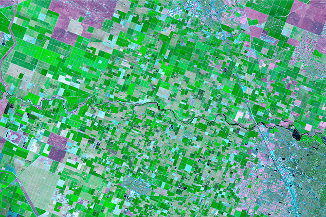
The Californian City of Salinas is focused on using data to drive transparency. It shares a range of geographic and other data through its multilingual portal.

Our solution

  • Provides a central source for geographic and GIS data for internal and external users
  • Allows data to be accessed and downloaded in multiple ways, including via APIs and popular GIS formats
  • Enables data to be shared internally, increasing collaboration between city departments

The benefits

  • As GIS data is available via APIs, expert users can access it automatically, reducing the city’s workload and increasing efficiency
  • The portal now offers a wide range of data assets including anonymized crime data, mobility data on traffic and bikeways, and GIS marker information for engineering companies
  • Usage is growing, with over 270,000 annual API requests and 215,000 files

We’re a smaller city so we plan to integrate technology into our programs to drive automation, efficiency, and data-driven decision-making. The platform delivers enormous return on investment for us and we really see Opendatasoft as a partner to help us achieve our goals.

Eric Sandoval
Innovation Team Leader and GIS Administrator, City of Salinas
Read the use case
Salinas

Geographic & GIS data and Opendatasoft’s key capabilities

Enrich and improve data

Built-in processors within the Opendatasoft solution standardize geographic and GIS data, correcting errors and ensuring consistency. Access to our comprehensive Data Hub enriches your GIS data with data assets from leading external and public sources, delivering greater context and consistency, and deepening its value

Compelling data visualizations

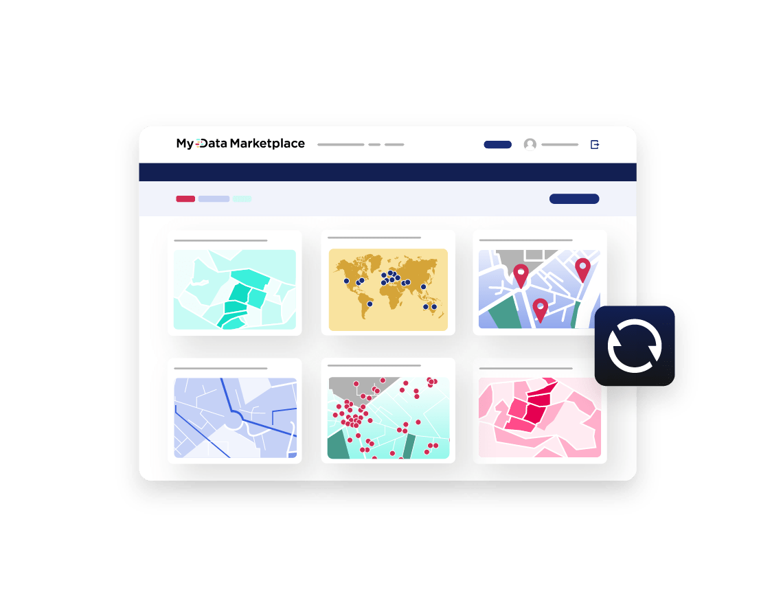
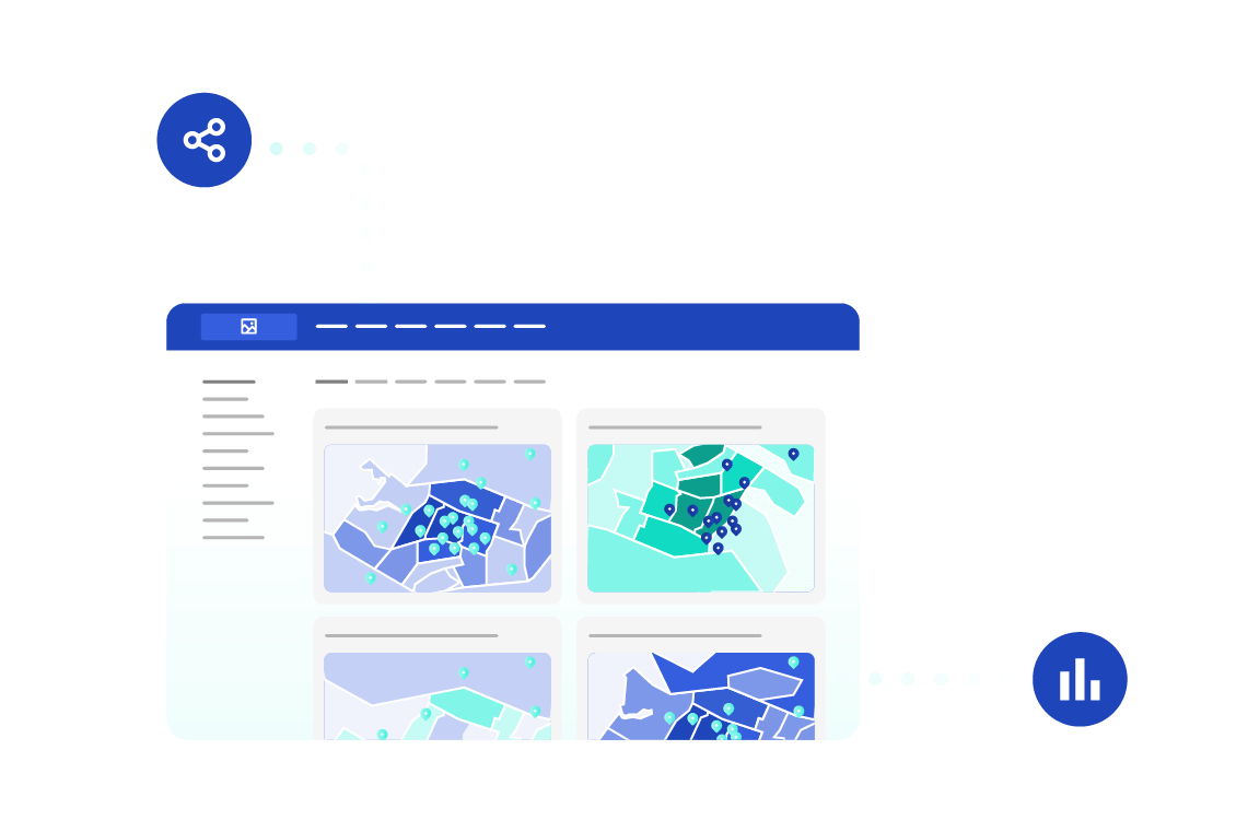
Bring geographic data to life and make it easily understandable to everyone through interactive, intuitive data visualizations. The Opendatasoft platform enables you to quickly create maps, dashboards, data stories and more, widening the appeal and impact of GIS data inside and outside your organization

Encourage reuse

The Opendatasoft solution supports secure reuse of your data, automatically generating downloadable file exports in multiple, interoperable formats, including CSV, Excel, JSON, GeoJSON, Shapefile, Parquet and KML as well as allowing automated sharing via API, enabling users to connect data assets to their own platforms and apps.

Data lineage

Whether data is shared by download or API, Opendatasoft’s data lineage feature enables you to track its reuse, providing deep insight into how and where your data is being used, allowing you to strengthen relationships, showcase successes and keep people informed of any changes around structure and availability

Our key partners to help deliver your geographic data & GIS projects

We collaborate with technical experts to advance your geographic data & GIS efforts. Our partners bring specialized expertise in data integration, metadata management, and compliance, ensuring robust and scalable solutions. Explore the technical depth of our collaborations on our partner page.
Learn more
Read more
Data Portal: The essential solution to maximize impact for data leaders Ebook
Data Portal: The essential solution to maximize impact for data leaders

All organizations understand the vital importance of data to success. In a world full of data, easy and rapid access to the right datasets, in the right format, at the right time is crucial to decision-making, efficiency, collaboration, innovation and transparency. It decreases costs, builds new revenue streams, and mitigates risk. This ebook provides a comprehensive introduction to data portals at both a strategic and tactical level. It aims to help you embrace data democratization and unlock the value of your data.

City of Salinas drives transparency and collaboration through open data Success story
City of Salinas drives transparency and collaboration through open data

The City of Salinas has a diverse and multicultural population of approximately 160,000 people. As a city it is focused on using data to drive transparency, and is one of the first 50 cities in the United States to be certified by Bloomberg Philanthropies’ What Works Cities initiative. As part of its focus on transparency and ensuring effectiveness, Salinas wanted to make data a central part of its operations, with up-to-date, relevant information shared both externally with citizens and businesses and internally between departments to drive collaboration and become truly data-driven. Download our success story to learn more on Salinas data portal!

The benefits of integrating geographic information with your open data program Open data & transparency
The benefits of integrating geographic information with your open data program

What holds back the sharing of geographic data and how can these barriers be overcome? Our blog shares best practice for unlocking greater value from your GIS data by making it part of your wider open data program.

Ready to Dive In?

Book your live demo Today

+3000

Data projects

+25

Countries

8.5/10

Overall satisfaction rating from our customers